


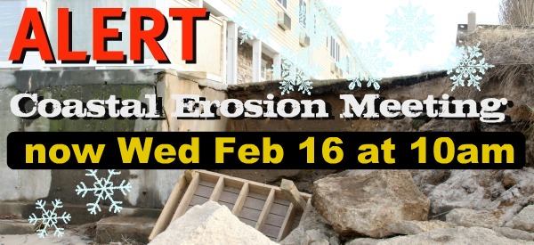
The Coastal Erosion Meeting originally scheduled Feb 2nd, but postponed ironically because of bad weather, finally went ahead with about 80 members of the public and various government officials. The purpose of the meeting was to explore both short term and long term solutions to the coastal erosion happening on Long Island Sound. One area that is particularly vulnerable is Hashamomuck Cove, which benefits from a group of very active homeowners that have been pushing officials for something to be done since 2006.
Attendees from Government included Legislator Ed Romaine, Southold Town Supervisor Scott Russell and Southold Town Trustee Bob Ghosio, each familiar with the issues and actively involved in trying to resolve problems for some time. Representing the Army Corp of Engineers were Roman G Rakoczy and Nathanael T. Wales.
Mr. Wales, who is a project planner and civil engineer for the U.S. Army Corps of Engineers, presented the idea of a proposed $3 million feasibility study of the coastline from Kenneys Beach in Southold east to the Hashamomuck Cove area.
The study, Mr. Wales said, is needed to determine if there is a federal interest in protecting the area — and will take three to five years to complete
This did not receive a very positive response from the audience, with some attendees afterwards characterizing the meeting as a dog and pony show. Home Owners want authorities to move faster. North Fork Patch’s Editor, Erin Schultz has a detailed write-up of the meeting here: Southold Property Owners want Feds to move faster to protect beaches. and below we have a copy of the Army Corps slide presentation, with notes by Lynn Laskos of the Hashamomuck Cove Group.
First, to put a face to a name, here are photos of those who spoke at the meeting, courtesy Benja Schwartz:
Lynn Laskos writes;
Where is Hashamomuck Cove?
Hashamomuck Cove is approximately a 2 mile strip between the Southold Town Beach and The Soundview Inn on County Road 48 in Southold NY.
Background
In 2006, Hashamomuck Cove contacted Legislator Edward Romaine with the erosion problem that looms over County Road 48. Hashamomuck Cove has been struggling with a severe erosion problem in our community which immediately affects Route 48 which is the only access road to the Eastern End of Long Island. It is an emergency situation. Our homes cannot continue to be the only buffer between the raging storms and County Road 48. The water comes right up to within 11feet of County Road 48. This is our only access way to Greenport Hospital, Peconic Landing, our Village and stores and the Ferry Service. The last 11 miles of the North Fork would have limited emergency evacuation route if the road washed out. Emergency vehicles would have no access to our residents should a major storm hit the Eastern End of Long Island. This is everybody problem, not some homeowners trying to save their homes.
The Army Corps of Engineers slide presentation:
Slide 1 Hashamomuck Cove secured funding for an initial study from Senator Schumer and Congressman Bishop, This study is called the Hashamomuck Cove, Southold NY Section 905B Reconnaissance Study – June 2008. This study identified 4 potential “hot spots”
1. Hashamomuck Cove,
2. Greenport Town – Preston’s / Claudio Blinking light,
3, Kenney and McCabe’s / Goldsmith Jetty area,
4. State 25 causeways by Orient point. NOTE: #4 has broken out to be its own project and construction is being done.
June 2007 ACOE met with Hashamomuck Cove to discuss slide 1 and 2 options were discussed:
1. Short term of installing metal sheathings along County Road 48 to keep the road from washing out. This project was tabled for no clear evidence that it would work could be produced. Money returned to government bucket
2. Long Term study – Now that the ACOE identified “hot Spots”, sponsors are needed to proceed into Feasibility Study phase. Hashamomuck Cove has secured Federal interest and County interest, State of New York has not been established.
Slide 2 Show Ariel of area in Slide 1 of the Short term and Long term plans
Slide 3 Outlines the long term plans of possibly using bulkhead with stone or revetment stone. It outlines different possibilities including acquisitions of property, beach nourishment
Slide 4 Photos of devastated sites with Ariel markings on Google map
Slide 5 ACOE typical long term solution
Slide 6 Homeowner Options of both ACOE solution and what homeowners can do and have been doing for 25 years on their own to protect not only their homes, but County Road 48.
_________________________________
No Comments